搜索结果: 1-15 共查到“理学 management”相关记录222条 . 查询时间(0.198 秒)

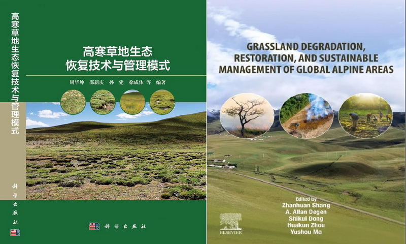
中国科学院西北高原生物研究所《高寒草地生态恢复技术与管理模式》《Grassland Degradation, Restoration and Sustainable Management of Global Alpine Area》出版(图)
生态系统 管理 气候
2025/1/8
高寒草地生态系统作为青藏高原乃至我国生态安全的关键屏障,肩负着水源涵养和补给、生物多样性维持、气候调节以及支撑当地畜牧业生产等重要生态服务功能。然而,2024年来,由于过度放牧、气候变化和不当土地利用等因素的叠加作用,全球高寒草地面临着大规模退化的严峻挑战。这种退化不仅严重威胁到草地生态功能的稳定性,还直接影响到人类和家畜的生存与可持续发展。因此,高寒草地的生态保护与修复,作为一项涉及生态、社会与...

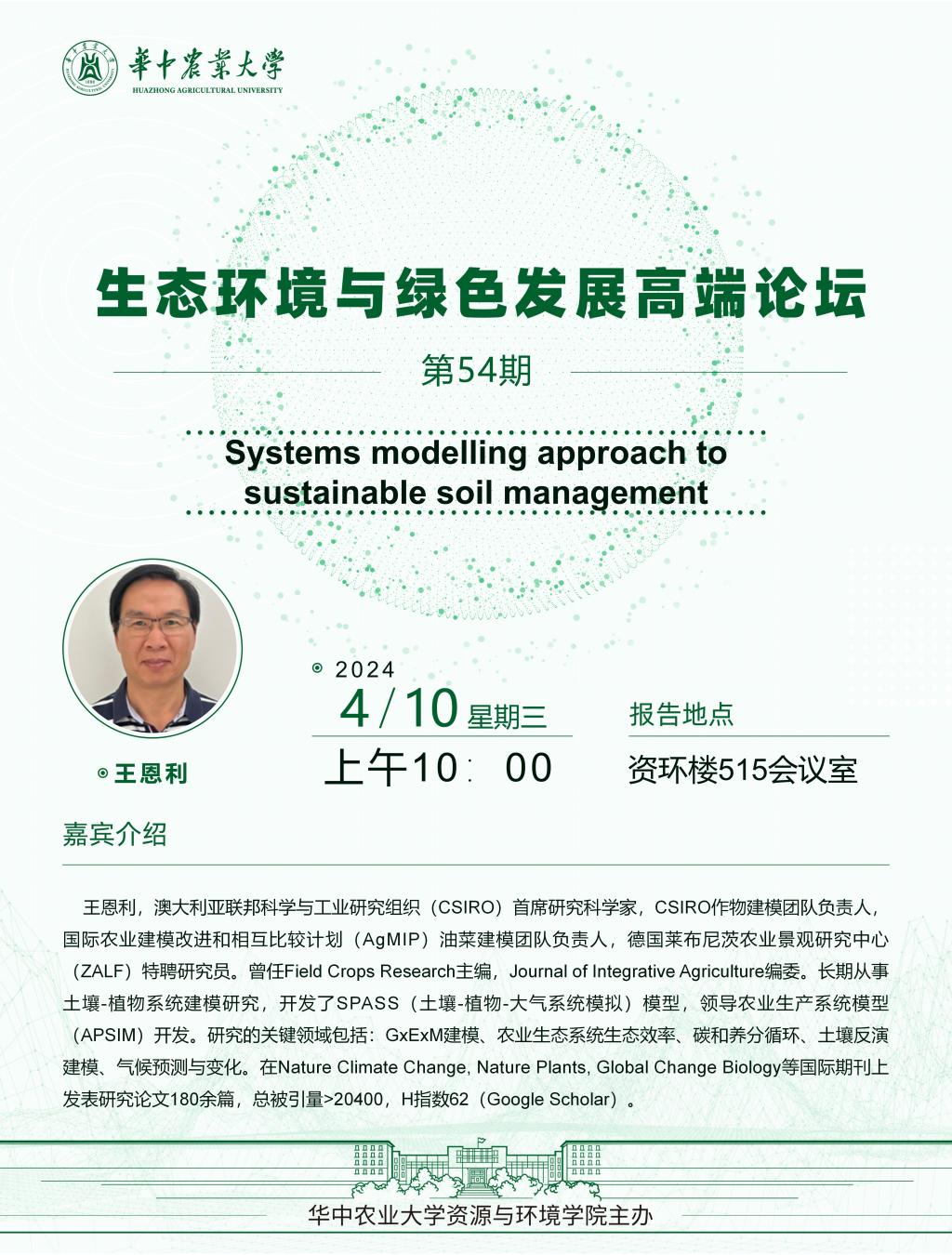
Academy of Mathematics and Systems Science, CAS Colloquia & Seminars:Statistical Management Theory for Business Applications with Massive Scale
大规模 商业应用 统计管理
2023/12/11

北京林业大学环境学院课题组在《Waste Management》发表研究成果(图)
环境 发酵 分析
2024/8/24
2023年4月11日,环境学院张盼月教授课题组在正丁酸生产领域取得新进展,为生产正丁酸提供了一条废物回收、低成本的新途径。相关研究成果以“Volatile fatty acid production in anaerobic fermentation of food waste saccharified residue: Effect of substrate concentration”(餐厨垃...
Academy of Mathematics and Systems Science, CAS Colloquia & Seminars:Choice-based Availability Controls for Urban Carsharing Revenue Management
选择 城市 拼车收益管理 可用性控制
2023/5/16

华南理工大学一研究成果在Management Science上发表(图)
华南理工大学 流动性溢价 金融数学
2020/10/22
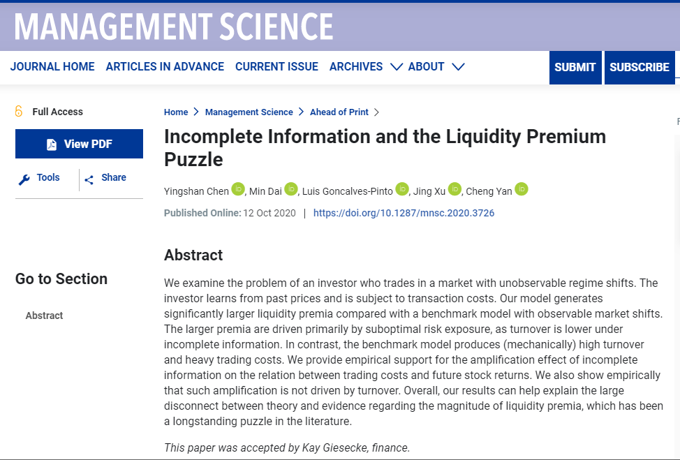
日前,以华南理工大学数学学院为第一署名单位、陈映珊副教授为第一作者的研究成果被管理科学、运筹学领域顶级期刊Management Science正式录用并已在线发表。该成果题为“Incomplete Information and the Liquidity Premium Puzzle”(《不完全信息与流动性溢价谜团》),反映了陈映珊与其合作者在金融数学领域取得的重要突破,是数学学院在交叉学科研究...

日前,华南理工大学数学学院陈映珊副教授与其合作者在金融数学领域取得了重要研究成果。该成果题为”Incomplete Information and the Liquidity Premium Puzzle”(《不完全信息与流动性溢价谜团》),以华南理工大学数学学院为第一署名单位、陈映珊副教授为第一作者被国际顶级期刊Management Science正式录用并已在线发表。这是数学学院在交叉学科研究...

浙江大学文科领军人才李新刚教授任主编、海洋学院冯雪皓副教授任副主编的SSCI期刊《Maritime Policy & Management》建设取得重要进展。根据科睿唯安(Clarivate Analytics)最新发布的SCI与SSCI期刊数据显示,该期刊最新影响因子创新高,达3.152,位列全球交通(Transportation)学科领域SCI与SSCI期刊第14名,升至JCR分区Q2。

近日,我校徐汉虹教授课题组与法国科学院Jean-Louis Bonnemain院士课题组应邀在《Pest Management Science》(农林科学一区,5年影响因子3.428)联合发表了题为“Vectorizing agrochemicals: enhancing bioavailability via carrier-mediated transport”的综述文章(论文在线链接http...
TRAINING, EDUCATION, RESEARCH AND CAPACITY BUILDING NEEDS AND FUTURE REQUIREMENTS IN APPLICATIONS OF GEOSPATIAL TECHNOLOGY FOR WATER RESOURCES MANAGEMENT
Geospatial technology Water resources Education and Training
2019/2/27
In India, water resources are managed at different levels, i.e. at central level by Ministry of Water Resources, River Development & Ganga Rejuvenation, Central Water Commission and Central Ground Wat...
REPEATABLE DEPLOYMENT OF AN OPEN STANDARDS, OPEN SOURCE AND OPEN DATA STACK FOR BUILDING A FEDERATED MARINE DATA MANAGEMENT AND DECISION SUPPORT SYSTEM FOR SOUTH AFRICA
Open standards Interoperability Data Management System CKAN CSW Case Study Distributed Systems Architecture Oceans and Coasts DevOps
2018/11/8
The National Oceans and Coastal Information Management System (OCIMS) of South Africa is a large, integrated IT system for enhancing oceans, coastal and maritime governance, and supporting sustainable...
WETLAND CLASSIFICATION FOR BLACK DUCK HABITAT MANAGEMENT USING COMBINED POLARIMETRIC RADARSAT 2 AND SPOT IMAGERY
Wetlands Synthetic Aperture Radar Polarimetric data Decomposition Classification
2018/5/16
The black duck population has decreased significantly due to loss of its breeding habitat. Wetlands are an important feature that relates to habitat management and requires monitoring. Synthetic Apert...
SPACE-AIR-GROUND CO-OBSERVATION IN WATERSHED MANAGEMENT: THE ESTABLISHMENT OF SYSTEM
remote sensing dynamic monitoring water administration law watershed management
2018/5/17
To realize real-time, detailed, and standardized watershed monitoring and management, a dynamic monitoring system is proposed, at all levels (space, air, and ground), by comprehensively utilizing adva...
GIS-HBIM INTEGRATION FOR THE MANAGEMENT OF HISTORICAL BUILDINGS
HBIM GIS management strategies heritage
2018/6/5
As is well known, Italy's very consistent buildings stock has become the major field for real estate investments and for the related projects and actions. It is a heritage that is often barely known a...
EMERGENCY RESCUE MANAGEMENT SUPPORTED BY UAV REMOTE SENSING DATA
crisis management levee monitoring remote sensing UAV data automatic orthomosaics
2018/4/18
In the proposed SAFEDAM system, aerial and satellite-based information is used for the monitoring of river bodies, flood monitoring during the event, and for post-disaster damage assessment. UAV const...


